

You can find on this page the blank map of Italy to print and to download in PDF. The contours map of Italy presents the international boundary of Italy in Europe. You can use the vector map of Italy for personal or educational use.
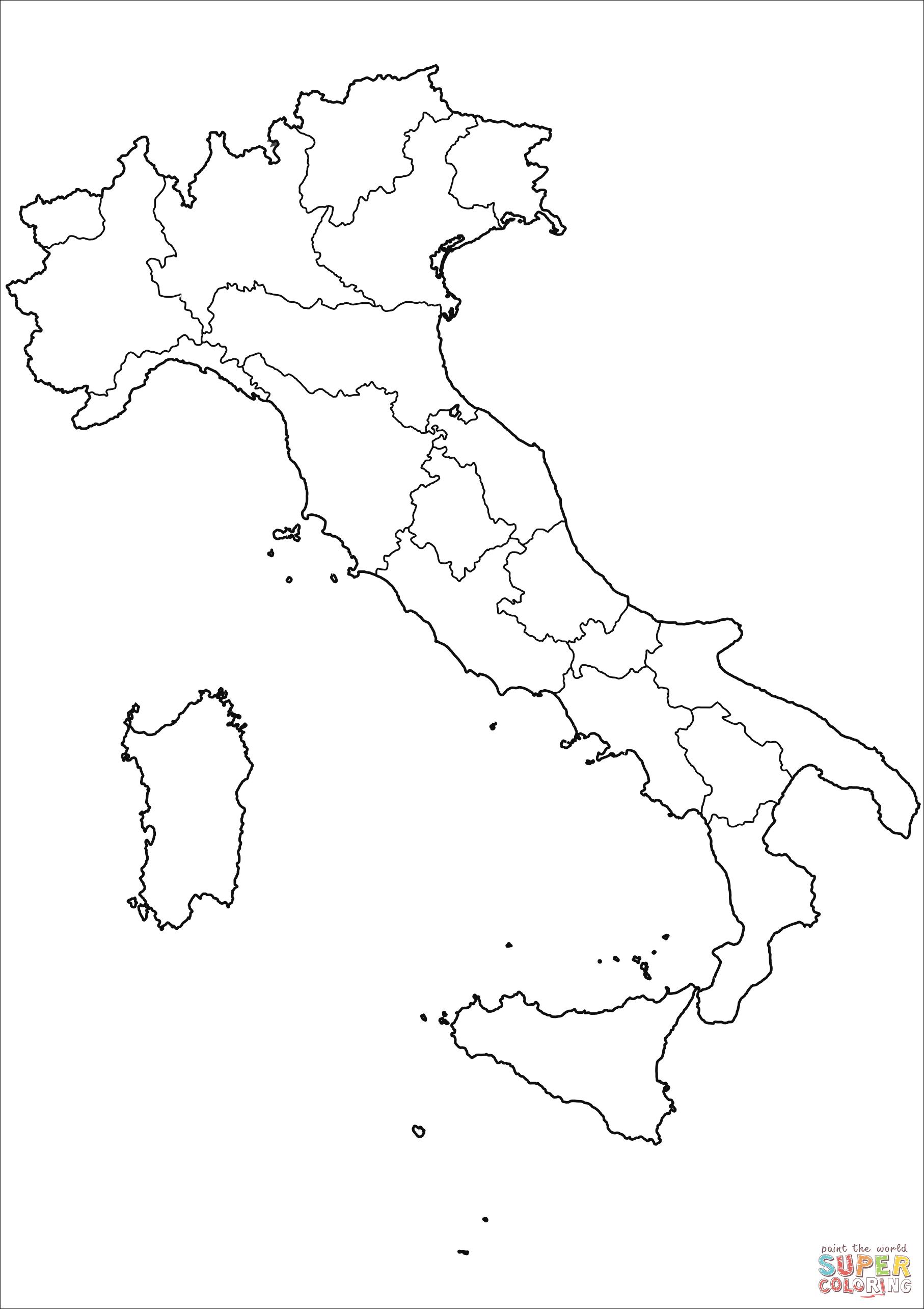
The blank map of Italy shows the country Italy empty. This blank map of Italy will allow you to use the map for personal activities or educational with children for example (drawing). The empty map of Italy is downloadable in PDF, printable and free.
The blank map of Italy show the boundaries of the following 20 Italian regions : Abruzzo, Basilicata, Calabria, Campania, Emilia-Romagna, Friuli-Venezia Giulia, Lazio, Liguria, Lombardia, Marche, Molise, Piemonte, Puglia, Sardegna, Sicilia, Toscana, Trentino-Alto Adige, Umbria, Valle d'Aosta, Veneto.
This blank map with an outline can be used across all the educational institutions for teaching the geography of Italy and make them draw the map of Italy. You can print its template from here for your personal use. Well, a printable map makes it very easy to have a quick overview of Italy map, since you do not have to draw this map on your own.
This blank map of Italy can be used for the assignment purpose as well in the class of geography and being a printable map you can carry it with you using digital devices such as smartphones. Well, there are the geography scholars and the researchers as well who want to have an in-depth view of Italy map for their research map.

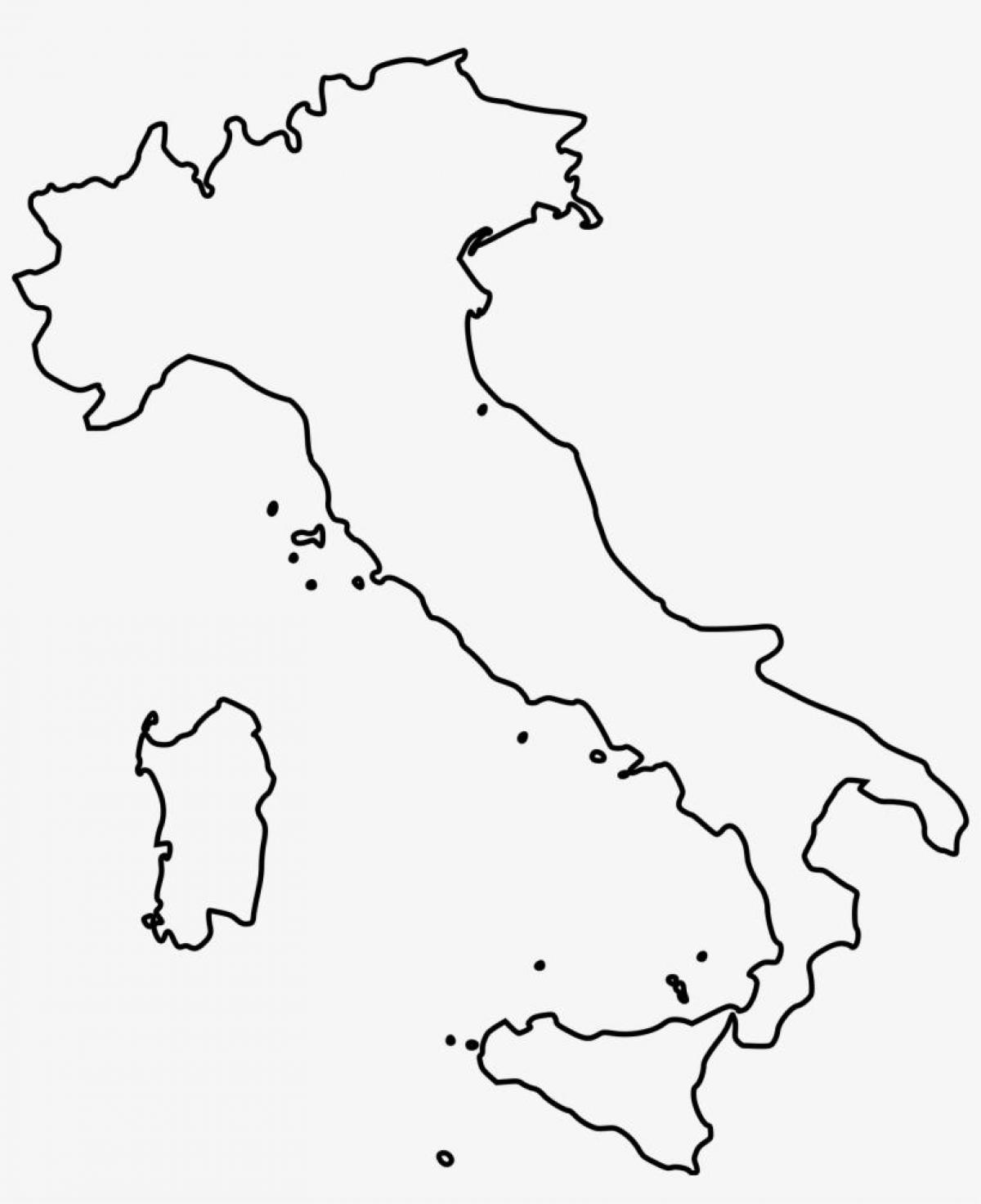
The Italy map outline shows all the contours and international boundary of Italy. This outline map of Italy will allow you to easily learn about neighboring countries of Italy in Europe. The Italy contours map is downloadable in PDF, printable and free.
Italy or officially the Italian Republic is a country which is located in the Southcentral part of the European continent and some part of it is spread into the Western side as well. The country as you can see in Italy map outlines shares its borders with other nations such as France, Austria, Switzerland, etc.
You can select from several presentation options, including the map context and legend options (see Italy map outlines). Black and white is usually the best for black toner laser printers and photocopiers. This allows to you configure the way Italy is presented so that you can use the map for exactly what you need it for - as a reference, a quiz or something for students to annotate while doing research.
Italy borders as its shown in Italy map outlines are the following: Switzerland (698 km or 434 mi), France (476 km or 296 mi), Austria (404 km or 251 mi) and Slovenia (218 km or 135 mi). San Marino (37 km or 23 mi) and Vatican city (3.4 km or 2.1 mi) are enclaves. The total border length is 1,836.4 km (1,141.1 mi).
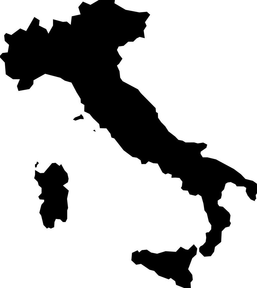
The vector map of Italy shows entire surface of Italy empty. This vector map of Italy will allow you to make changes or add details to the map of Italy in Europe, for personal or educational purposes. The vectorial map of Italy is downloadable in PDF, printable and free.
Italy is located in Southern Europe and comprises the boot-shaped Italian Peninsula as its mentioned in Italy map vector and a number of islands including the two largest, Sicily and Sardinia. There are two independent states within Italy borders: San Marino and Vatican City. Italy also has two independent countries within its borders. It lies between latitudes 35° and 47° N, and longitudes 6° and 19° E.
Italy is a peninsula in the Mediterranean Sea and is surrounded by seas on all three sides. Its most prominent feature is its boot-like shape kicking the island of Sicily as its mentioned in Italy map vector. It is approximately 1,130 kilometres long and has a total area of approximately 301,238 square kilometres comprising some of the most varied and scenic landscapes on earth. Italy land borders are with Switzerland, France, Austria and Slovenia.
The Italian mainland is a long peninsula that resembles a tall boot as you can see in Italy map vector, so much so that the country is often referred to as "the boot," with the Puglia region in the southeast being the "heel of the boot" and the Calabria region in the southwest being the "toe of the boot."